
Lewis Lane and Morris Road
- Yen Ho
- Jun 11, 2020
- 4 min read

Updated: Sep 16, 2021
Not a lot of people knew about this street, but people in this area would know there's a famous farm that George Washington used as his headquarters during the Revolutionary War, particularly during the Battle of Germantown. That farm was Dawesfield. and it's located on Lewis Lane. Intersecting Lewis Lane is Morris Road.
Lewis Lane and Morris Road... they are interesting names. When people thought of Morris Road, they thought about the bad things: deer crossings at night and trees falling during storms. But what they didn't know about was the names of the roads that were named after a family who owned Dawesfield during the 18th and 19th century.
They were the Morris and Lewis families, the most well-known families who owned Dawesfield.
NOTE: You would think Morris Road was named after the Morris family who lived in Dawesfield. That is untrue. I found out that it was named after someone who was one of the early setters before Ambler's establishment:
The [Morris] Road was confirmed by the Court in the year 1763 as a public highway. As its course was laid out, it extended from Garret Clement's Mill in Salford Township to Samuel Morris' in Upper Dublin. Between the years 1734 to 1763, the Court refused several times to grant it, due to the petitions of other inhabitants who offered many objections. One outstanding objection made by those who opposed the laying out of this road was that it was unnecessary because the Skippack and Bethlehem Pikes were sufficient to meet the needs of the people. This protest sent to the Court was as follows:
"Whereas the petioners of sd. Twp. hath here set our hands craving the honorable Court to see into it concerning a Rd. that is lightly to go through our township: Whereas we think it needless and very troublesome to our township, for ye said Samuel Morris hath already a road laid out from his mill to ye great road of guined, and this not exceeding a mile and a quarter from ye great road of Skipac which run on the same course given, or 12 miles."
This protest had twenty-seven signatures and was dated March 1734. In all the protests for this road which were sent to the Court in the years between 1734 and 1763, the end of its route was given as at Samuel Morris' mill. Although the road was not confirmed until after the sale of the mill to John Stevens, it was named for Samuel Morris because of the efforts he made to have it laid open to meet the needs of the inhabitants.
Dawesfield was first owned by Abraham Dawes I who purchased 250 acres in 1713, adding the lands of Richard Whitpain, the founder of the township. That was when his son Abraham II built the Dawesfield property in 1731 upon the death of Abraham I. The name "Dawesfield" came about between 1728-1736.
When Abraham II died, the name "Dawes" died out in Whitpain township. In 1775, Abraham and his wife Hannah moved to Philadelphia with their daughter Judith. He turned his farmer over to his other daughter Elizabeth and her husband James Morris.
James Morris was a delegate to the Pennsylvania Convension in 1787 to ratify the Federal Constitution. When Montgomery County, PA was formed, he was one the first justices of the peace and a judge of the Common Pleas Count.
Elizabeth and James were hosts for General George Washington and his generals while they were staying at Dawesfield. Their daughter Hannah remembered sitting on George Washington's knee when she was about 4 years old, and being kissed by him.
Dawesfield was passed down for generations, and the last known family to own Dawesfield was the Lewis family, when Hannah's daughter Phoebe married Saunders Lewis.
Phoebe and Saunders Lewis owned Dawesfield and "Westside," which was another house her father, Dr. Thomas Chalkley James, built on the original property. The couple was found on the 1850 census data where it said that Saunders was an attorney. The Lewis family used Dawesfield as their summer home while living in Philadelphia, where all of their children were born at.
Their daughter Elizabeth "Bessie" married George G. Meade, Jr., the son of General George G. Meade, Sr. who was a commander of the Union Army that defeated General Robert E. Lee's army at the Battle of Gettysburg. George also served in the Union army. It was uncertain that General Meade ever visited Dawesfield. The family spent two summers at a house across from Dawesfield.
But... their daughter Elizabeth married George J. Cooke, and owned Dawesfield from 1912-1937.
Dawesfield is currently listed on the National Register of Historic Places, and it is currently owned by a local resident. Dawesfield photos are found at the Library of Congress.


NOTE: I learned that people back in the 19th century loved living in the city more than on the countryside. Understandable. It's pretty common back then that they used the homes as their summer homes to get AWAY from the city.
Think for example Cliveden and Lemon Hill. They were examples of summer homes.
Bibliography:
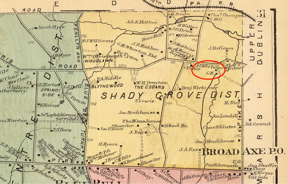
Hopkins, G.M. Atlas of Montgomery County, Pennsylvania, Page 031, 1871.
Hough, Mary P. H. "Early history of Ambler 1682-1888." Accessed June 14, 2020. https://digital.library.upenn.edu/women/hough/ambler/ambler.html.
Mueller, A. H. Atlas of the North Penn Section of Montgomery County, Pa., Plate 28, 1916.
Whitpain Township Bicentennial Commission. Whitpain... Crossroads in Time. (Montgomery County, PA: Whitpain Township Bicentennial Commission, 1977): 153-159, 388.


Comments